Local News
A little chilly, but not too snowy for your Easter weekend
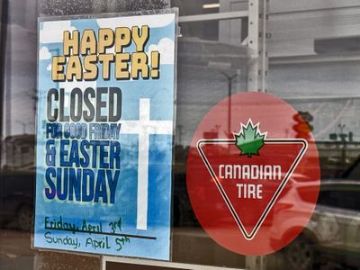
Steinbach and area can expect an Easter weekend that is a little cooler than normal, but free of any significant snowfall. That is according to Meteorologist Scott Kehler with Weatherlogics. Kehler says temperatures should climb just above the freezing mark on Friday, Saturday, and Sunday. He notes this will slowly melt some of the snow still remaining on the ground. The normal high for this time of year is seven degrees. "We're seeing highs generally in that two-to-four-degree range over the next few days," he suggests. As for precipitation, Kehler says a couple of low-pressure systems could pass through over the weekend, bringing a bit of light snow to southeastern Manitoba on both Good Friday and Saturday. However, he says the bulk of that snow will pass well to the south through the Dakotas and Minnesota. "So we're not expecting any major impacts in Manitoba, " says Kehler. "But you could see a few flurries to start the weekend." Then on Easter Sunday, Kehler says another passing low-pressure system could produce a little bit of light snow mixed with rain. "But again, it looks to be light and with mild temperatures, a lot of that will probably melt as it falls," he explains. Kehler says based on this forecast, it should not be a weekend with hazardous driving conditions. However, he cautions motorists that after the sun goes down, there could be some slippery spots on roads as a result of snow that is starting to freeze again. Related Stories: Easter Journey offers interactive story and egg hunt at local greenhouse Easter weekend in Steinbach: what is open and closed? Green eggs take over Ste. Anne for annual Egg-Mazing Race As mentioned, temperatures in Steinbach continue to trend cooler than normal. Kehler explains that the main reason for that is there is still a lot of snow cover across Canada. Even though the snow has been melting in Southern Manitoba, Kehler says there is still an extensive snowpack to the north of us. "And what that does is it allows cold air to remain bottled up just to our north," he says. "So, any time the wind switches and comes out of more northern areas, it brings a lot of cold air down with it." With that source for much cooler air not far away, Kehler says this is making it difficult for our air to really start to warm up. In fact, Kehler says it looks like the arrival of spring will continue to be characterized by these fits and starts. He expects this for the first half of April, noting we really need to see more of the snow cover melt before we can finally switch to a more spring-like pattern. "So based on what I'm seeing now, it looks like for Southern Manitoba, probably mid-April is when we might start to see temperatures climbing up more consistently toward double digits," says Kehler. Though this is later than normal, Kehler says it is consistent with the type of winter that we had. Kehler explains that our La Nina winter produced conditions that were a little cooler and snowier, especially for areas to the north of us. As a result, this tends to delay the start of spring. Meanwhile, Kehler says there are no big weather systems looming for southeastern Manitoba that he is keeping an eye on. However, he says the same cannot be said for areas to the south or east. Kehler says anyone travelling to North Dakota, Minnesota, or Northern Ontario should expect to see some significant low-pressure systems moving through, beginning this Easter weekend.